






General Information
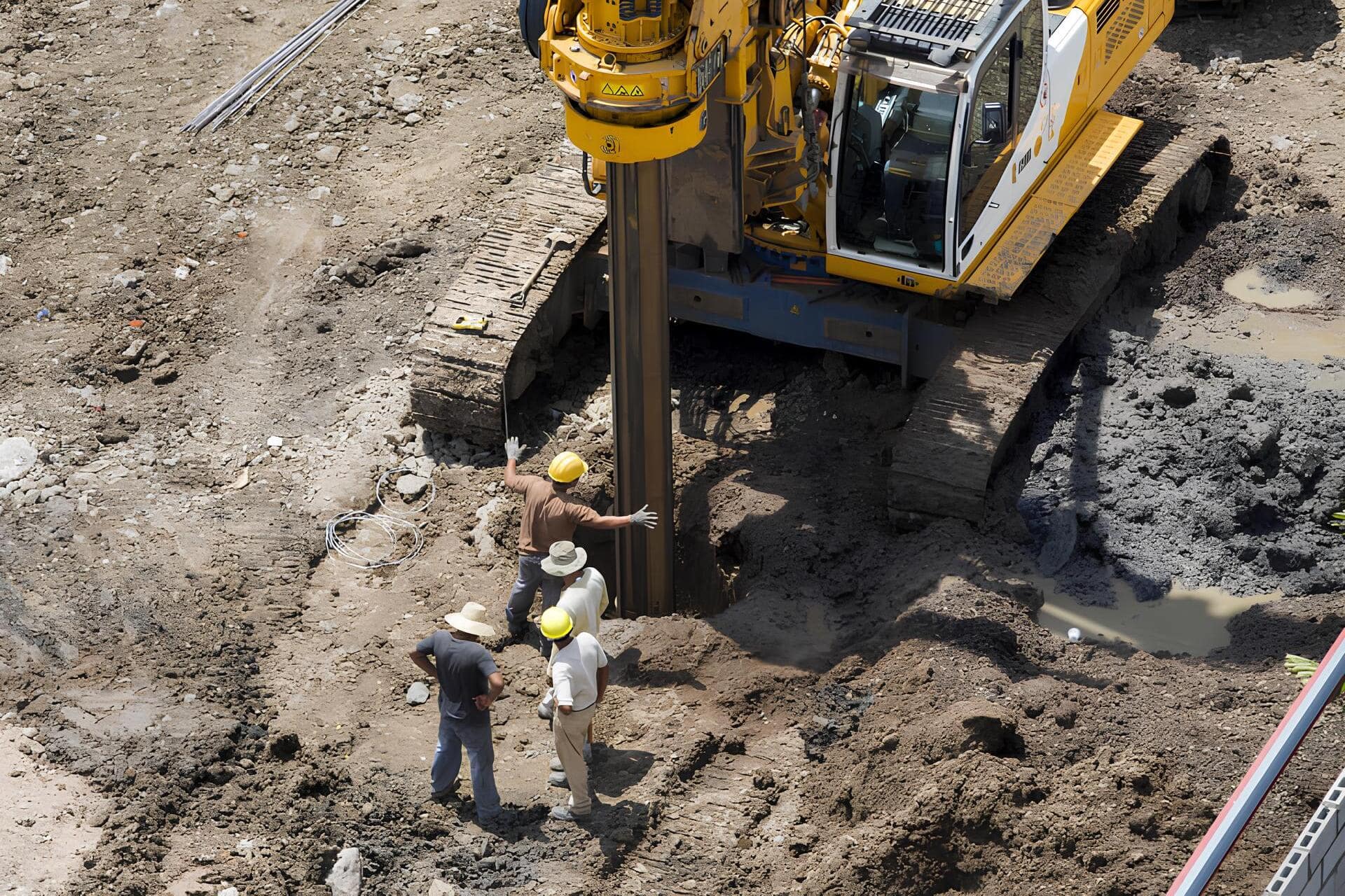
Surveying is a set of activities carried out to obtain accurate information about the geographic coordinates, shape, and topography of an area.
These may include measuring distances, angles, and heights; creating maps and plans; and determining the location of objects on Earth.
Surveying has many applications, including construction, land management, cartography, geology, and many other fields.
Procedure
Consultation
- The first contact with a client begins with a discussion of their needs and requirements for surveying services.
- Conducting a consultation to determine the project's objectives, timeline, and specific details.
Estimates and Contracts
- Based on the information received, the company prepares a cost estimate for the services and provides it to the client.
- Once the estimate is approved, a contract is drawn up that sets forth the terms of the collaboration, the obligations of the parties, the deadlines for completing the work, and the cost.
Preparation and Execution of Work
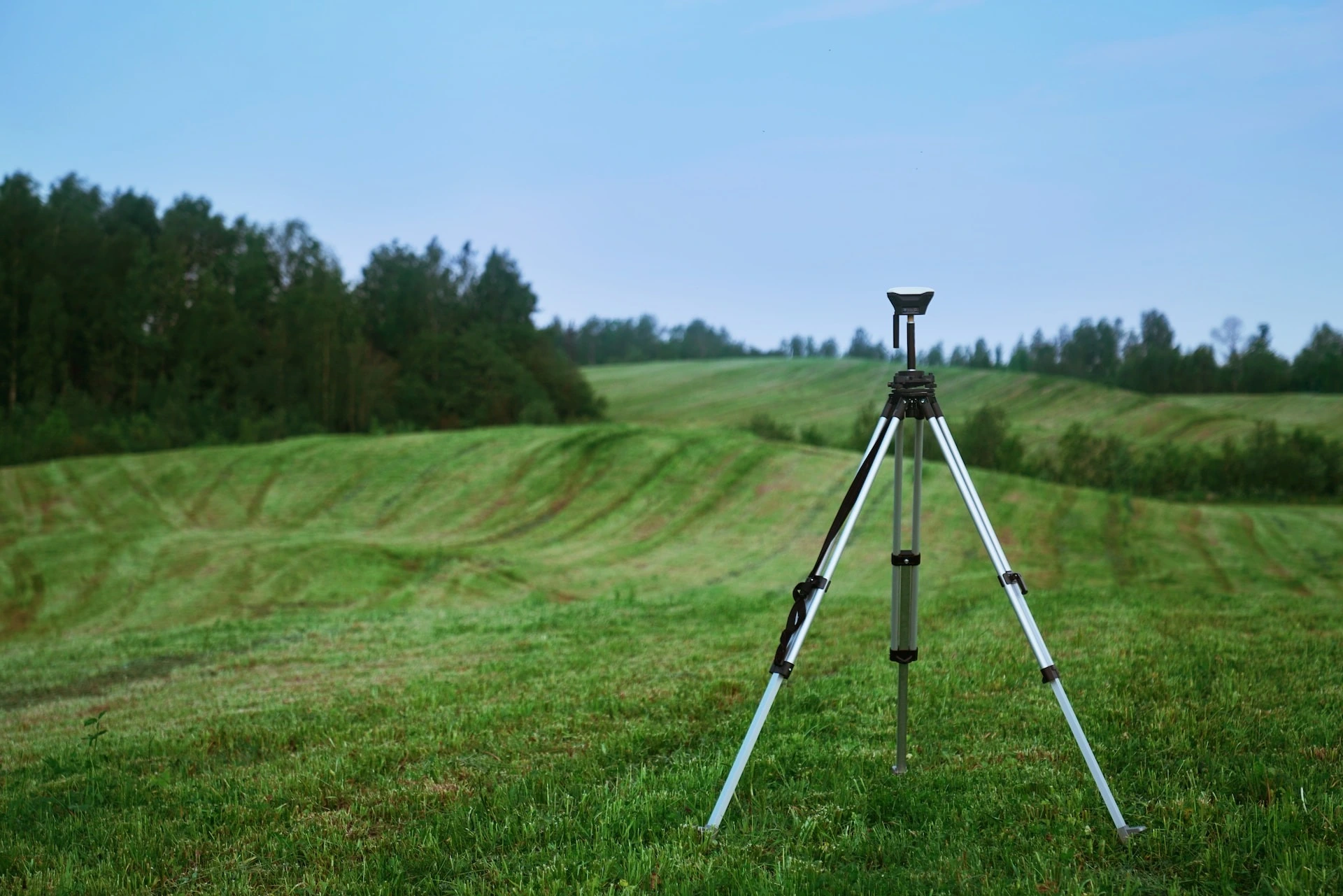
- The company is beginning to prepare for and carry out surveying work in accordance with the approved project.
- The stages of the work may include field surveys, measurements, mapping, and other surveying processes.
Custom Solutions
- Upon completion of the work, the company provides the client with a report that includes the data collected, the measurements taken, and other relevant information.
- Survey maps, plans, or other documents are provided as needed.
Feedback
- Once the client receives the results, they can provide feedback on the quality of the services and their level of satisfaction.
- If changes or additional work are necessary, the company coordinates them with the client.
Project Completion



The Latest Technologies
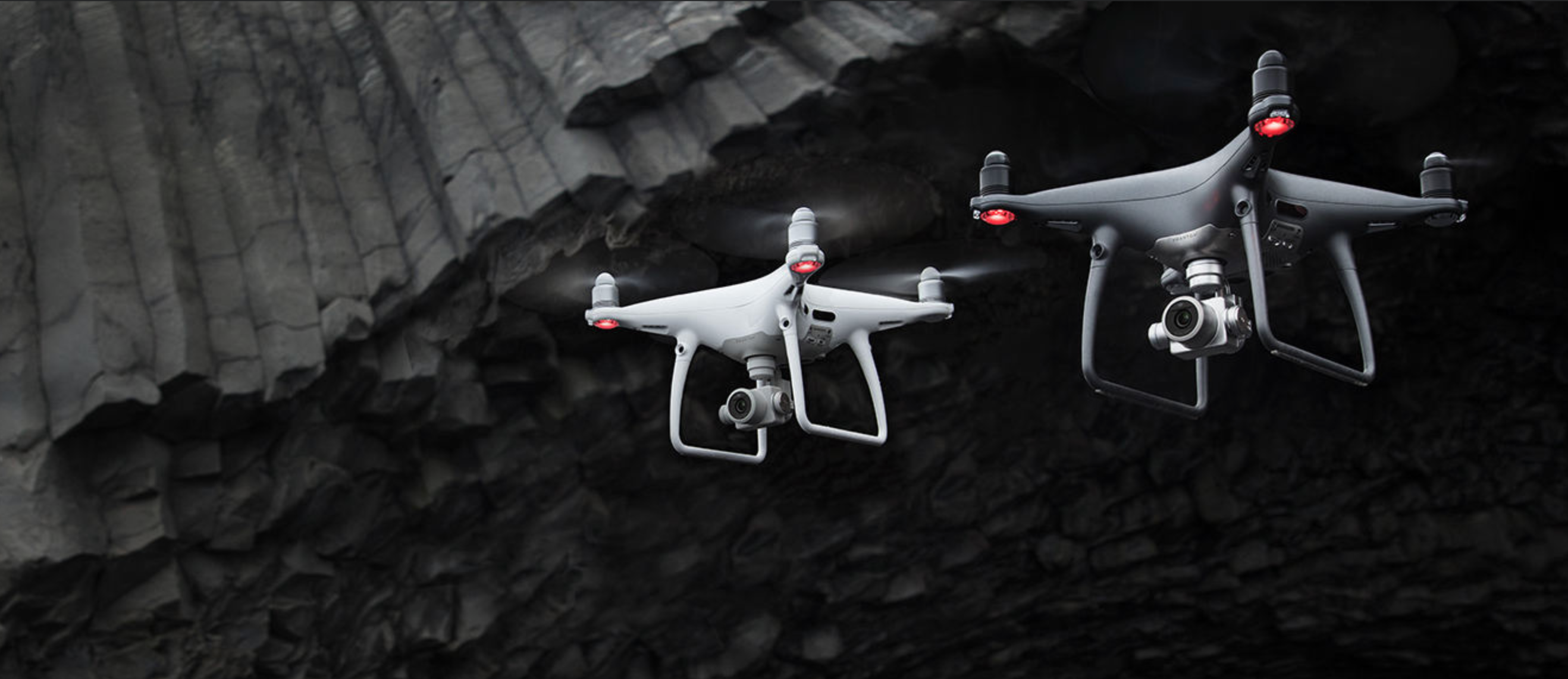
New methods and tools are making geodesy a more accurate and effective scientific discipline.

Data-driven information
Information is a key element in decision-making across various fields.

Custom Solutions
These solutions are developed by engineers with a deep understanding of technical and methodological aspects.

A New Perspective on Cooperation
A convenient and reliable company that provides the necessary services